


The best USA road trips take you past towering red rock canyons, along dramatic coastal cliffs, and through historic small towns. Whether you want to navigate the hairpin turns of California’s Pacific Coast Highway or cruise the long, straight desert stretches of Route 66, driving is the most practical way to see the country. This guide covers the top routes, expected costs, and essential logistics for planning your drive.
Before locking in your route and booking your rental vehicle, check our complete North America guide to understand visa requirements, border logistics, and major seasonal weather shifts across the continent.
Top Routes for the Best USA Road Trips
The United States is too large to tackle in a single holiday unless you have several months to spare. It is much more efficient to pick a specific region and explore it thoroughly. Here are five of the most compelling regional drives.
1. Pacific Coast Highway (Highway 1), California
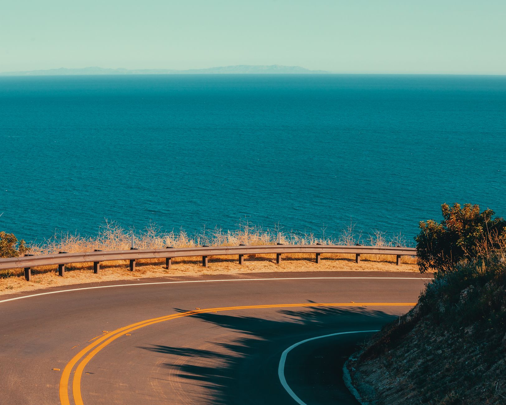
Stretching along the edge of the Pacific Ocean, this route is famous for its steep cliffs, crashing waves, and redwood forests. Most travellers drive the 1,000 km stretch between San Francisco and Los Angeles or San Diego. Driving north to south keeps you on the ocean side of the road, making it easier to pull into scenic viewpoints.
Start by crossing the Golden Gate Bridge before heading south to the coastal town of Monterey. From there, you will pass through Carmel-by-the-Sea and enter Big Sur. This is the most dramatic section of the drive, featuring the iconic Bixby Creek Bridge and McWay Falls. Further south, you will hit the Spanish colonial architecture of Santa Barbara and the beaches of Malibu.
You need five to seven days to do this drive comfortably. The best time to go is September to November, as the summer months (particularly May and June) often bring a thick morning coastal fog known locally as “June Gloom”.
2. Utah’s Mighty 5
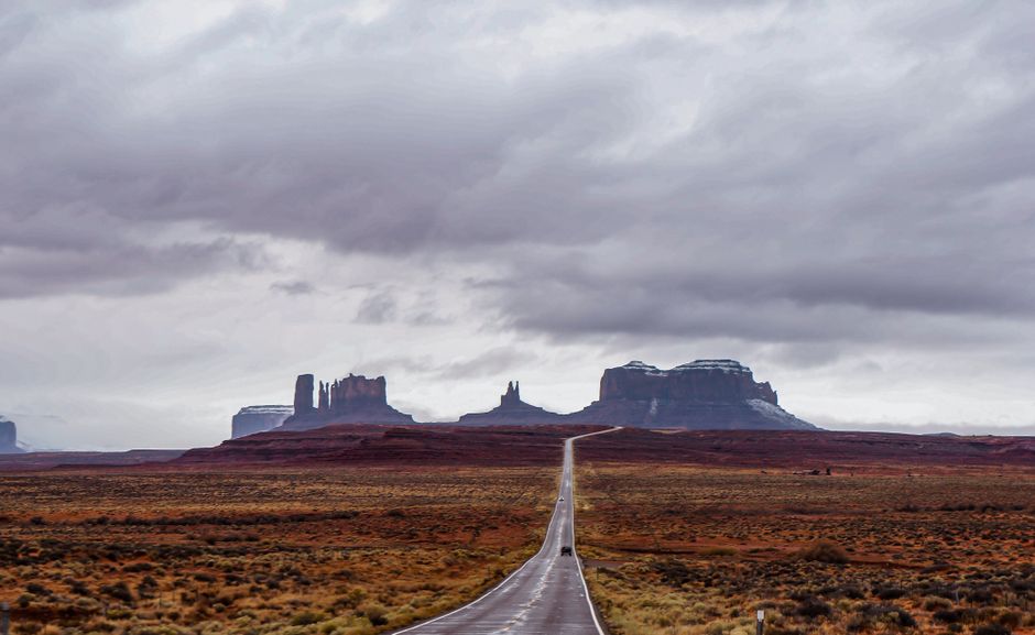
If you want alien landscapes, deep canyons, and massive sandstone arches, southern Utah is the premier destination. This road trip links five national parks: Zion, Bryce Canyon, Capitol Reef, Canyonlands, and Arches. Most visitors fly into Las Vegas, Nevada, or Salt Lake City, Utah, and complete a loop of roughly 600 km to 800 km.
Highlights include driving the Zion-Mount Carmel Highway tunnel, watching the sunrise over the hoodoos in Bryce Canyon, and hiking to Delicate Arch. To get the most out of these landscapes, read our detailed guide to the Best National Parks in the USA and Canada, which covers entrance fees and permit requirements for popular trails like Angels Landing.
Plan for seven to ten days. Spring (March to May) and autumn (September to November) offer the best hiking weather. Summer temperatures frequently exceed 40°C (104°F), making midday hikes dangerous.
3. The Overseas Highway, Florida
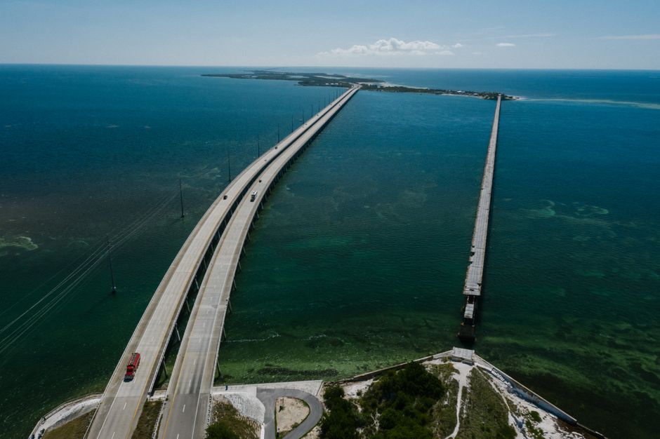
The Overseas Highway (US Route 1) connects mainland Florida to Key West via 42 bridges over the Atlantic Ocean and the Gulf of Mexico. The drive is only 260 km from Miami, but it feels like crossing into a different country. The speed limits are low, and the focus is entirely on the water.
Stop at Key Largo to snorkel in John Pennekamp Coral Reef State Park, feed the tarpon at Robbie’s Marina in Islamorada, and drive across the famous Seven Mile Bridge. The trip ends in Key West, known for its historic Duval Street and roaming chickens.
You can complete this drive in three to four days. If you plan to travel between June and November, review our advice on the Caribbean Hurricane Season: When to Go and What to Know. If the Keys leave you wanting more tropical heat, check out Which Caribbean Island Is Right for You? for ideas on where to fly next from Miami.
4. Route 66 (The Mother Road)
Route 66 is the quintessential cross-country American road trip. Though the original highway was officially decommissioned in 1985, you can still drive roughly 85% of the historic 3,900 km route from Chicago, Illinois, to Santa Monica, California. This drive is less about natural scenery and more about mid-century Americana, neon signs, and roadside diners.
Key stops include the Gateway Arch in St. Louis, the Cadillac Ranch art installation in Texas, and the Petrified Forest National Park in Arizona. You will pass through eight states and three time zones. You need an absolute minimum of 14 days for this trip, though 21 days is far more realistic if you want to stop at the historic motels and diners along the way.
5. Blue Ridge Parkway, Virginia and North Carolina
Designed specifically for recreational driving, the Blue Ridge Parkway winds for 750 km along the crest of the Blue Ridge Mountains. It connects Shenandoah National Park in Virginia to Great Smoky Mountains National Park in North Carolina. Commercial vehicles are banned, and there are no billboards or stoplights.
The route is famous for its rolling mountain views, Appalachian cultural sites like Mabry Mill, and the sweeping curves of the Linn Cove Viaduct. The speed limit is strictly enforced at 45 mph (72 km/h), forcing you to slow down and enjoy the scenery.
Allow four to six days for the drive. October is the most popular time to visit due to the spectacular autumn foliage, so book accommodation well in advance if travelling then. Sections of the parkway close in winter due to ice and snow.
Essential Logistics for the Best USA Road Trips
Renting a Car and Insurance
Standard car rentals in the US cost between $50 and $90 per day, depending on the location and season. If you are doing a one-way road trip (e.g., picking up in San Francisco and dropping off in Los Angeles), expect a one-way drop fee. This fee ranges from $100 for short intra-state drives to $800+ for cross-country trips.
Insurance is critical. Collision Damage Waiver (CDW) or Loss Damage Waiver (LDW) covers damage to your rental vehicle. Supplemental Liability Insurance (SLI) covers damage you cause to others. US residents often have coverage through their personal auto policies or credit cards, but international visitors usually need to purchase SLI at the rental counter to meet legal requirements.
Navigation and Cell Service
Do not rely entirely on live cellular data. Cell service drops frequently in national parks, the deserts of the Southwest, and the Appalachian mountains. Download offline maps via Google Maps or Maps.me before you leave your hotel Wi-Fi.
For data access in towns and cities, buy a local eSIM (like Airalo or Holafly) before you travel, or pick up a physical SIM card from a major network like AT&T or T-Mobile upon arrival. T-Mobile generally offers the best short-term prepaid tourist plans.
Fuel and Rest Stops
Fuel (gasoline) is sold by the US gallon (3.78 litres). Prices vary drastically by state; expect to pay anywhere from $3.50 to $5.50 per gallon. California and the West Coast are consistently the most expensive regions for fuel, while the South and Midwest are the cheapest.
On remote routes like the Utah desert or stretches of Route 66, get into the habit of filling up your tank when it reaches the halfway mark. Gas stations can be 80 km to 100 km apart, and running out of fuel in an area with no cell service is a serious safety risk.
How Much Does a USA Road Trip Cost?
Your daily budget will depend heavily on your accommodation standards and how much you eat out. The figures below represent the daily cost per person, assuming two adults sharing a rental car, fuel, and a double hotel room.
| Budget Level | Estimated Daily Cost (Per Person) | What is Included |
|---|---|---|
| Budget | $100 – $150 | Basic motels, fast food or grocery store meals, standard economy rental car, limited paid attractions. |
| Mid-Range | $200 – $300 | 3-star chain hotels, sit-down dinners at casual restaurants, mid-size SUV rental, national park entry fees. |
| Luxury | $400+ | Boutique lodges or resorts, fine dining, premium or luxury vehicle rental, guided tours. |
To save money on federal lands, purchase the America the Beautiful Pass at your first national park. It costs $80 and covers entry for one vehicle and all its passengers to all federal recreational lands for a full year. If you visit three or more national parks, the pass pays for itself.
Common Road Trip Mistakes to Avoid
- Underestimating distances: The US is massive. Driving from New York to Miami takes 18+ hours of pure driving. Stick to one region per trip rather than spending your entire holiday looking through a windscreen.
- Ignoring toll roads: Many states (including Florida, Texas, and the Northeast) use cashless, electronic tolling. Ask your rental agency about an electronic toll pass (like SunPass or EZ-Pass) to avoid expensive administrative fines for unpaid tolls.
- Speeding on rural roads: Highway Patrol frequently monitors long, empty stretches of interstate. Fines are steep, and out-of-state or international drivers are not exempt.
- Not booking accommodation in advance: During the peak summer months (June to August), lodges inside or near popular national parks sell out six to twelve months in advance. Do not expect to find a walk-in room near Zion or Yosemite in July.
Combining Your Drive with Other Destinations
If you have a month or more, you can link several regional drives. For example, finish the Pacific Coast Highway in Southern California, spend a few days in Los Angeles, and then head east into the Mojave Desert to start the Mighty 5 loop in Utah.
If you want to cross international borders on a longer North American journey, check out the Best Countries to Visit in North America to see how a US road trip compares with driving the Icefields Parkway in the Canadian Rockies or exploring Mexico’s Baja California peninsula.
Plan Your Trip
Start your planning by choosing a specific region and mapping out a realistic daily kilometre limit. Aim for no more than 300 km to 400 km a day so you actually have time to stop, hike, and explore the towns you pass through.
Book your rental car early to secure the best rates, especially if you require a specific vehicle class like a large SUV or a minivan for a family. Automatic transmissions are the absolute standard in the US; manual cars are incredibly rare at rental agencies. Finally, double-check seasonal road closures before you travel. High-altitude routes, such as the Tioga Pass in Yosemite or sections of the Blue Ridge Parkway, close entirely during the winter months due to heavy snow.